


Land Surveying in Cypress Lakes, FL
At Florida Building & Land Surveying, we provide licensed, professional land surveying services in Cypress Lakes, Florida, and throughout Palm Beach County. Our experienced surveyors assist homeowners, developers, contractors, and engineers by delivering precise Boundary Surveys, ALTA/NSPS Land Title Surveys, Topographic Surveys, and FEMA Flood Elevation Certificates for residential, commercial, and construction projects.
Using advanced GPS, drone, and LiDAR technology, we ensure highly accurate results that comply with Palm Beach County regulations, permitting requirements, and flood zone standards. Whether you’re building a new home, refinancing, or preparing a commercial development, our team delivers timely, reliable, and fully compliant land surveys to keep your project on schedule.
Serving Cypress Lakes and surrounding communities, including Boca Raton, West Palm Beach, Palm Beach Gardens, Jupiter, Delray Beach, Wellington, Royal Palm Beach, Lake Worth, and Tequesta, we specialize in detailed surveys for waterfront properties, flood-prone areas, and complex sites, making us the trusted choice for professional land surveying in Cypress Lakes and across Palm Beach County.

OUR CYPRESS LAKES SERVICES
If you’re planning a home addition, developing commercial property, or purchasing land in Cypress Lakes, Florida, a professional land survey is essential. Accurate surveys ensure your project meets Palm Beach County zoning, permitting, and building requirements. At Florida Building & Land Surveying, our licensed surveyors provide precise and dependable Boundary Surveys, ALTA/NSPS Land Title Surveys, Topographic Surveys, and FEMA Flood Elevation Certificates.
Our expert services protect your investment, streamline permitting, and make property transactions in Cypress Lakes and surrounding communities, including Boca Raton, West Palm Beach, Palm Beach Gardens, Jupiter, Delray Beach, Wellington, Royal Palm Beach, Lake Worth, and Tequesta, smooth, efficient, and worry-free.
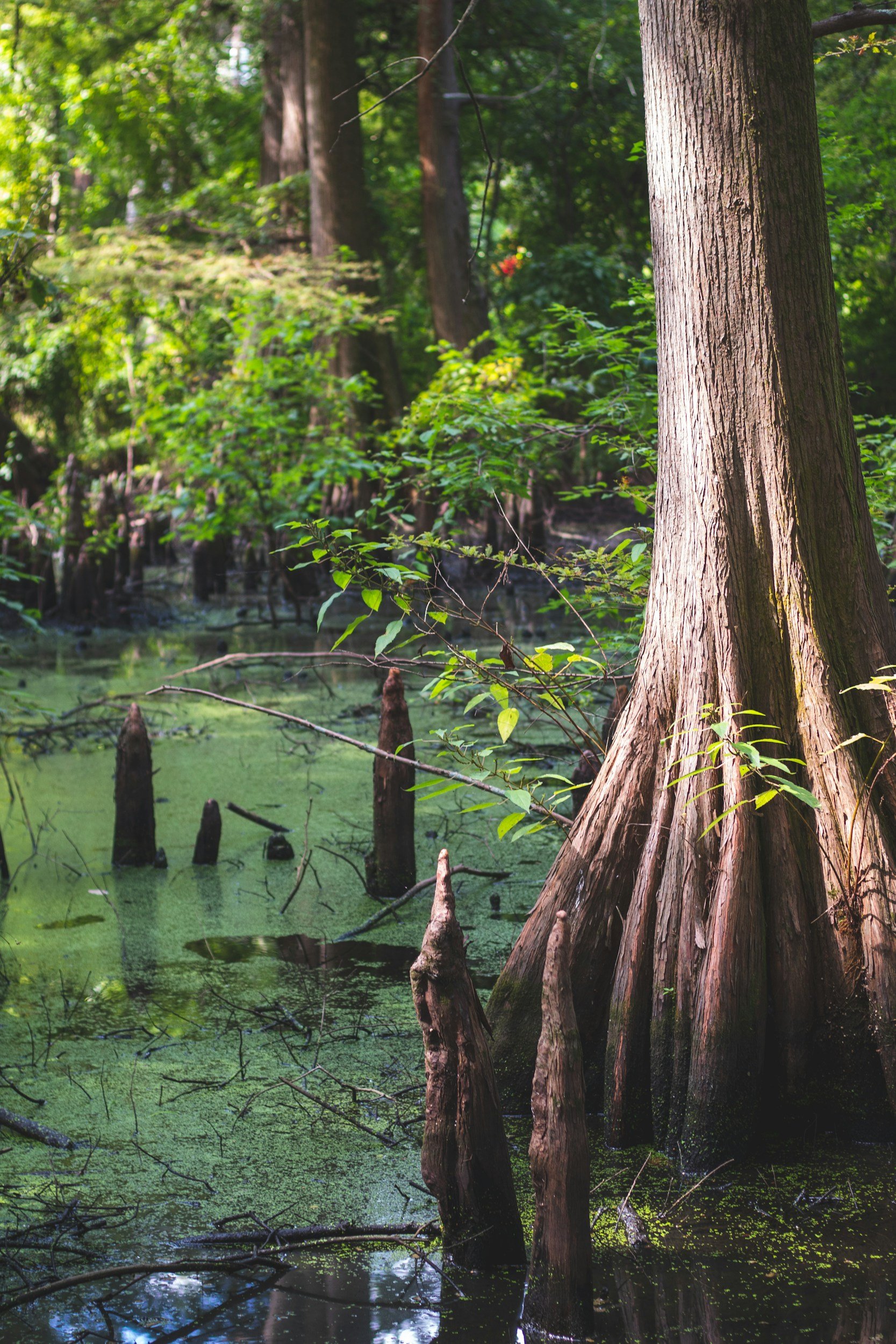
ABOUT CYPRESS LAKES
Cypress Lakes, Florida — a quaint and welcoming community in Palm Beach County — is known for its peaceful streets, well-maintained neighborhoods, and proximity to popular local landmarks such as Okeeheelee Park, Cypress Lakes Golf Club, and the Lake Worth Lagoon. With convenient access to nearby cities including West Palm Beach, Lake Worth, and Delray Beach, Cypress Lakes is an ideal location for homeowners, builders, and developers seeking both comfort and a high-quality lifestyle.
At Florida Building & Land Surveying, we provide licensed Boundary Surveys, ALTA/NSPS Land Title Surveys, Topographic Mapping, and FEMA Flood Elevation Certificates for Cypress Lakes and surrounding Palm Beach County communities. Whether you’re planning a new residential property, a commercial development, or a property expansion near the Intracoastal Waterway or local parks, our expert surveyors deliver accurate, timely, and fully compliant results.
Our team has in-depth knowledge of Cypress Lakes and the surrounding region’s zoning regulations, permitting requirements, and flood zone standards. We coordinate directly with Palm Beach County offices to verify property lines, easements, setback lines, and flood elevations, helping prevent boundary disputes, permitting delays, and construction challenges.
Whether your project is in Cypress Lakes, West Palm Beach, Lake Worth, Delray Beach, or Jupiter, our comprehensive land surveying services provide the precision and reliability you need to protect your investment, streamline permitting, and confidently move forward with residential, commercial, or mixed-use projects.
Why Choose Florida Building & Land Surveying in Palm Beach County
Serving Atlantis, Boca Raton, West Palm Beach, Palm Beach Gardens, Jupiter, Delray Beach, Wellington, and nearby communities, our licensed surveyors provide precise boundary surveys, ALTA/NSPS land title surveys, and FEMA Flood Elevation Certificates. We ensure your home additions, commercial developments, or property transactions comply with Palm Beach County zoning, building, and flood regulations while protecting your investment.
Know Your Surveys
Understanding the right survey for your property is key. Here’s a quick guide to the surveys we provide across Palm Beach County.
Boundary Survey
A precise measurement of your property lines, easements, and corners. Essential for construction, property disputes, and accurate land ownership records.
ALTA/NSPS Land Title Survey
A detailed survey meeting national standards, documenting property boundaries, easements, encroachments, rights-of-way, and flood zones. Perfect for commercial transactions and title insurance.
FEMA Flood Elevation Certificate
Certified documentation of a property’s elevation relative to FEMA flood zones. Required for flood insurance, permitting, and construction in flood-prone areas.
Areas We Serve Near Cypress Lakes, Florida
Our Palm Beach County survey team provides reliable, licensed land surveying services throughout Cypress Lakes, FL, and nearby communities—offering true local expertise, fast turnaround times, and precise results for every residential or commercial project.
We proudly serve:
Whether you’re planning a home addition in Cypress Lakes, preparing a commercial development near Lake Worth Road, refinancing a property by Okeeheelee Park, or need a FEMA Flood Elevation Certificate for insurance purposes, our licensed surveyors deliver the accuracy, compliance, and detailed documentation your project requires.
Wherever you’re located in or around Cypress Lakes, we ensure every survey is completed with the precision and professionalism needed to keep your property transactions, permits, and construction projects smooth, efficient, and worry-free.

Top 10 Land Survey Questions in Cypress Lakes, FL
1. What is a Boundary Survey in Cypress Lakes?
A Boundary Survey in Cypress Lakes identifies the exact property lines, corners, and easements of your land. This ensures compliance with Palm Beach County regulations and prevents disputes before construction or property improvements.
2. When do I need a Boundary Survey in Cypress Lakes?
Boundary Surveys are recommended when buying property, adding structures, installing fences, or confirming setbacks in Cypress Lakes. They provide legal verification of your property lines for permitting and construction.
3. What is an ALTA/NSPS Survey?
An ALTA/NSPS Survey in Cypress Lakes is a detailed land title survey for commercial properties, multi-family units, and high-value homes. It includes easements, encroachments, utilities, flood zones, and legal descriptions for lenders and title companies.
4. Do I need an ALTA Survey for my Cypress Lakes property?
High-value homes, commercial projects, or refinancing may require an ALTA Survey. Lenders and title companies often request them to ensure complete property information and risk-free transactions in Cypress Lakes.
5. What are Table A items on an ALTA Survey?
Table A items are optional features such as utility locations, zoning, monuments, or environmental details. They allow customization of your ALTA Survey in Cypress Lakes for your specific property or development project.
6. What is a FEMA Flood Elevation Certificate?
A FEMA Flood Elevation Certificate in Cypress Lakes documents your building’s elevation relative to Base Flood Elevation (BFE). It is required for flood insurance, new construction, and compliance with Palm Beach County floodplain regulations.
7. How can I tell if my Cypress Lakes property is in a flood zone?
Our licensed surveyors use FEMA maps, local GIS data, and on-site measurements to determine your property’s flood zone. We provide accurate certificates and guidance for insurance and permitting compliance in Cypress Lakes.
8. How long does a survey take in Cypress Lakes?
Boundary Surveys usually take 2–5 days. ALTA/NSPS Surveys and Flood Elevation Certificates may take 1–2 weeks depending on property size, complexity, and research requirements.
9. How much does a survey cost in Cypress Lakes?
Costs vary by property size, survey type, complexity, and requested Table A items. ALTA/NSPS Surveys are more comprehensive and usually cost more than standard Boundary Surveys, but provide detailed documentation for high-value Cypress Lakes properties.
10. When should I get a survey before construction in Cypress Lakes?
Obtain a survey before applying for permits, building, or expanding structures. Accurate surveys in Cypress Lakes help prevent boundary disputes, construction delays, and permit issues.
Contact Our Cypress Lakes Surveyors Today!
Ready to start your project in Cypress Lakes, FL? Call us today at (877) 894-8001 or request a free quote online. Our licensed land surveyors in Cypress Lakes provide professional, accurate, and reliable surveys to keep your property, construction, or development project on track. Whether you need a Boundary Survey, ALTA/NSPS Land Title Survey, FEMA Flood Elevation Certificate, or Topographic Mapping, our experienced Palm Beach County team delivers precise results on time.
Reach out now at (877) 894-8001 to speak with a local Cypress Lakes land survey expert and get your free quote—ensuring your project complies with all Palm Beach County zoning, permitting, and flood regulations.